
St. Cloud Neighbor Record Sources
Each public source describes a different part of a St. Cloud block. The GIS viewer shows parcel shapes. The property roll ties those parcels to assessed owners. Election records have separate access rules. Community records may identify public board members, but the research found no official citywide association roster and no basis for treating a private membership list as public.
| Source | What it shows about a block | Access |
|---|---|---|
| Osceola GIS | Parcel lines, adjacent lots, roads, aerials, and published context layers | Free interactive map |
| Property Appraiser | Owner, situs, mailing address, parcel ID, legal description, jurisdiction, exemptions | Free parcel search |
| Official Records | Deeds, plats, liens, and recorded declarations tied to owners or land | Free index; copies and certification may cost |
| Voter records | Lawfully released public registration fields | Own-record status tool or formal extract route |
| CDD and HOA records | Public district boards and minutes; HOA corporate filings and declarations | District, Sunbiz, Clerk, or association rules |
| Permits and code files | Address-keyed work, cases, dates, applicants, and parcel references | Portal, department, or Chapter 119 request |
Owner, occupant, voter, permit applicant, and board member are not interchangeable labels. A good neighbors lookup preserves those distinctions instead of turning fragments into a household roster.
Map a St. Cloud Block
Begin with the Osceola County GIS viewer. Search one known address or parcel, zoom until boundaries are clear, then click outward. Relevant published layers can include parcels, aerial imagery, roads, subdivisions, municipal boundaries, zoning, flood information, and districts. The viewer is informational and is not a legal survey.
- Locate the known address and confirm the selected parcel ID.
- Click each adjoining parcel, then cross-check its details in the Property Appraiser roll.
- Record the situs, owner, mailing address, jurisdiction, legal description, and any exemption clue separately.
- Check corner lots and cross-street addresses before assuming a building fronts the same road.
- Stop at the immediate block. Use the St. Cloud street directory when the task expands to a whole named street.
BLOCK FLOW: known address → parcel ID → adjacent parcels → owner roll → deed or public community record
GIS may show an address point near a parcel edge. The legal description and recorded plat control boundary research, not the screen position of a label.
Read St. Cloud Parcel Clues
The Osceola Property Appraiser search accepts owner name, address, parcel number, subdivision, and property-use controls. A parcel card may show owner names, site and mailing addresses, lot or acreage, values, exemptions, improvements, sales, a sketch, photograph, and map link.
Homestead treatment is evidence consistent with owner occupancy, not proof that every owner lives there or that no one else does. A trust, estate, business, or out-of-area mailing address can appear on the roll. Renters and other household members may be absent. Suppressed information should never be guessed.
St. Cloud Corners and City Lines
Corner parcels can carry a situs address on the cross street, and one building can sit behind an address point that looks closer to another road. Use the selected parcel, not visual proximity, to build the block. The old St. Cloud grid of numbered streets and state-named avenues makes cross-street checking especially useful.
A St. Cloud postal label can also fall outside city limits. The city tells permit users to search the Property Appraiser and confirm that jurisdiction says “St. Cloud.” A parcel labeled “Osceola County” uses the county permit route even if the mailing city says St. Cloud. This geographic split affects which office holds permits, code files, and municipal correspondence.
Note: A ZIP code, postal city, parcel boundary, city limit, and special-district line are separate geographic layers.
St. Cloud Voter Block Limits
The Florida Voter Information Lookup requires first name, last name, birth date, and acknowledgment. It is an own-record status check, not a way to browse St. Cloud neighbors. Public election information follows a separate extract process through the Division of Elections and Osceola Supervisor of Elections.
Florida law exempts Social Security numbers, driver-license or state-ID numbers, signatures, and protected addresses. A lawful extract may include public geography fields under its current layout and request rules. It must not be used to reconstruct information that the custodian withheld.
The successful manifest capture points to Florida Public Records Law.
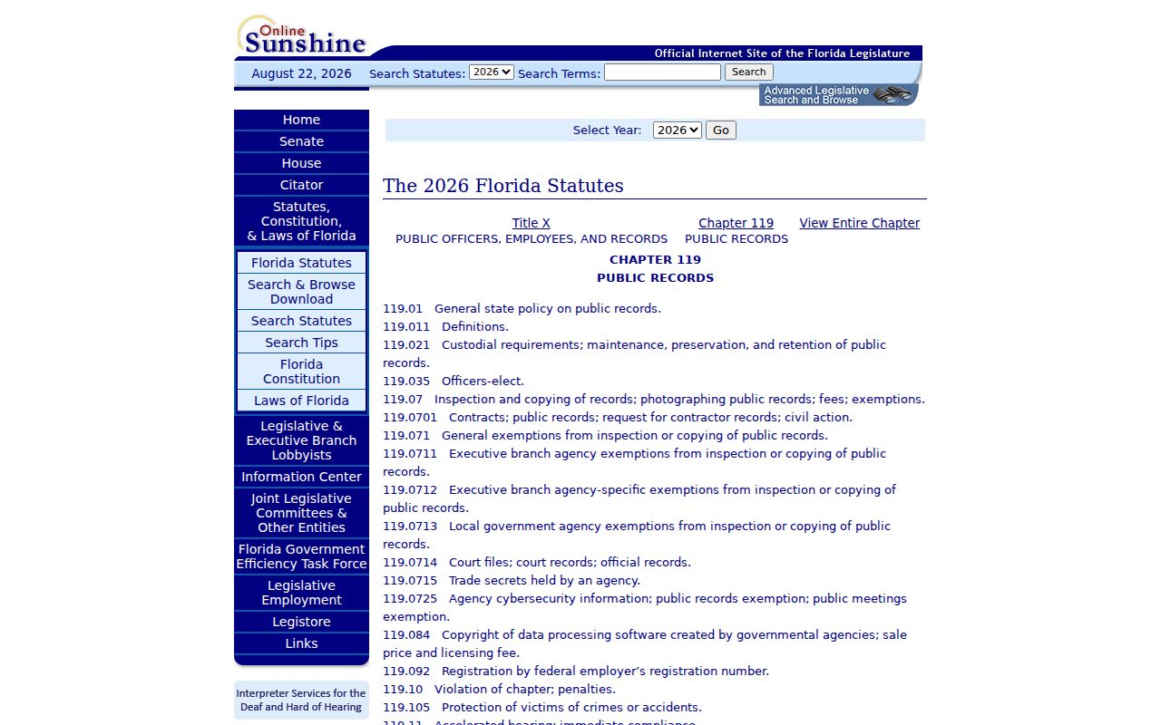
Chapter 119 allows inspection or copying of nonexempt public records. It does not convert private rosters or protected addresses into open data.
St. Cloud Community Records
A community development district, or CDD, is a government special district. Its board lists, meeting notices, minutes, and budgets are public records. An HOA is generally a private association. Corporate filings may be found through Sunbiz, while recorded declarations and amendments may appear in Osceola Official Records. Neither route makes a current private member roster public.
Public CDD
Check the district’s official meeting and records channel for board members, managers, notices, minutes, and budgets.
Private HOA
Use public corporate filings and recorded declarations. Ask the association directly about any member-only directory.
Osceola History
Search photographs, neighborhood files, subdivisions, veteran groups, businesses, and civic-club history for older context.
The research did not find an official current citywide neighborhood-association roster. Identify a possible association from recorded declarations, subdivision records, signage, a district page, or a verified city contact. Do not invent association names or officers.
Compare St. Cloud Neighbor Tools
Official records are narrower than commercial neighbor compilations, but their custodian and purpose are clearer. A parcel record has an assessment date and field definitions. A deed has a recording reference. A district minute has a meeting date. A commercial compilation may merge stale addresses, phone data, and unrelated names without showing how the match was made.
| Source type | Strength | Limit |
|---|---|---|
| Official parcel and GIS | Direct parcel and assessed-owner evidence | Does not name every occupant |
| Official deeds and district files | Dated, cited public record | Describes a transaction or public role |
| Commercial compilation | May collect broad contact clues | Can be stale, merged, opaque, or costly |
Confirm an important fact with the office that keeps it. If the purpose is simply to greet people on the block, direct and respectful contact is more reliable than an inferred household list.
The official Florida Treasure Hunt name search offers a free state source for unclaimed property, but a result is only a financial-property lead and does not establish that someone is among the current St. Cloud neighbors.
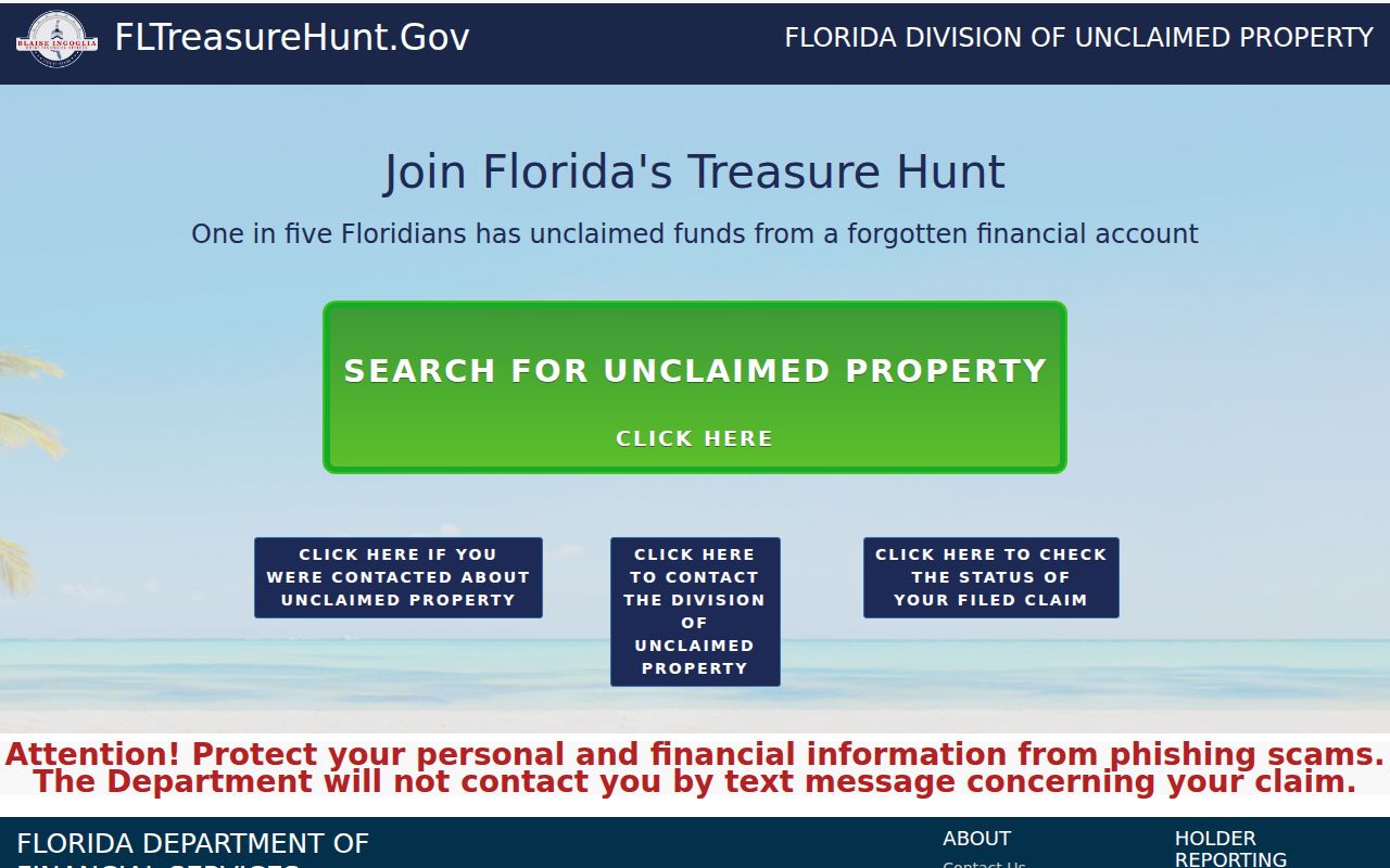
Use the claim details only in their stated context and return to parcel or other address-based evidence before making a location match.
Federal cases use a separate official channel, PACER, for party and docket searches; St. Cloud falls within the Middle District of Florida’s Orlando Division for federal venue.
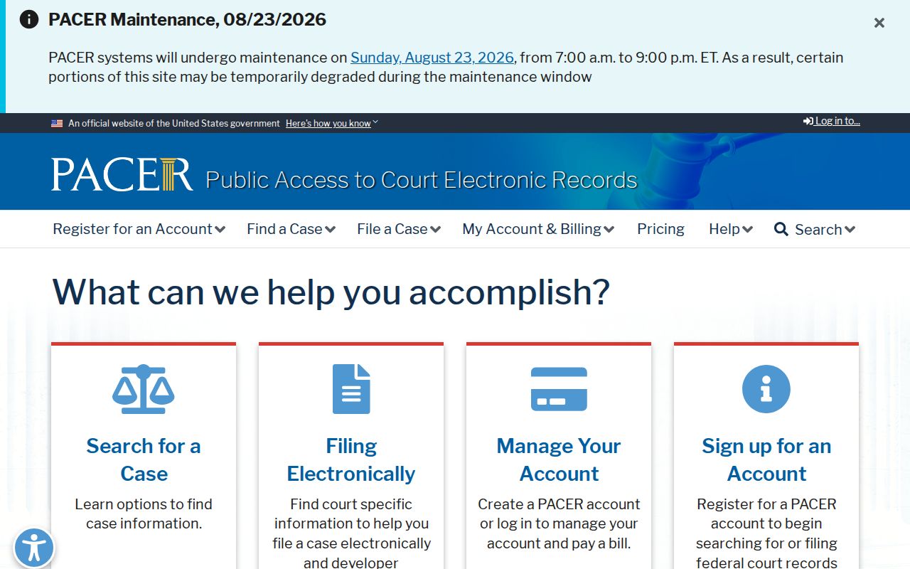
A federal party match describes litigation, not residence or a household, and should never be used to label a person on the block without independent evidence.
Compare Historic St. Cloud Blocks
The March 1924 St. Cloud Sanborn map contains eight sheets showing footprints, uses, construction, streets, and fire features. It does not name the people in each structure. Pair it with an authenticated directory entry or public census schedule to place a past household.
The 2024 preservation plan adds an address-level inventory of historic resources, building types, and years. It can guide a block-history search around the GAR Hall, Veterans Memorial Library, the depot, or early homes. Treat the listed construction year as a building lead, never as proof of who lived there.
St. Cloud’s origin as a Union veteran colony creates a deeper community layer. Deeds, the 1910 census, GAR records, Mount Peace burials, the 1924 map, and preservation files can be linked without exposing a current private household.
Check St. Cloud Block Changes
Permit and code files can show building work, dates, applicants, case status, and parcel references near a known address. St. Cloud’s portal supports public status checks, inspections, printing, and payment. Its staff research form requires the parcel number, which comes from the Property Appraiser.
Community Compliance files are requested through the department or city public-record route. Describe the addresses, parcel IDs, date range, and existing record types. Under Chapter 119, a requester generally need not give a purpose, though copy costs or special-service charges can apply.
A permit applicant or cited owner is not necessarily the current occupant. Use these files to understand change around the block, then keep the record’s date and role attached to the name.
Protect Your St. Cloud Neighbors
Utility accounts, delivery details, private congregation lists, and current private association rosters are not assumed public. Florida’s Address Confidentiality Program gives qualifying survivors a substitute address and mail forwarding. Occupational exemptions and court confidentiality rules can also remove information from public view.
Lawful use. Use neighbor records for civic interest, block history, or personal safety awareness. Never watch, threaten, confront, harass, or expose a protected person.
Florida stalking and cyberstalking law can apply to misuse of location and personal data. The proper response to a suspected record error is to contact the custodian. A concealed value is a limit to respect, not a gap to fill from rumor.